 vesseltracker.com
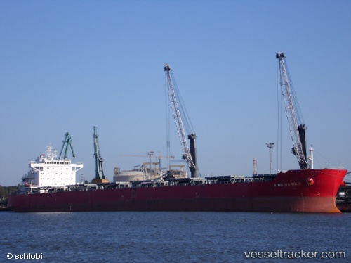
Vessel Rainbow N IMO: 9488803, MMSI: 538006420 Bulk Carrier
UTC, 26.44667, -87.83667, course: -1, speed: 10
UTC, 26.78667, -88.07833, course: -1, speed: 11
2026-03-24 21:18:43 UTC, 27.03167, -88.25500, course: -1, speed: 11
Live Vessel Rainbow N Analytics (details, animations, etc.)
Live AIS position: UTC. 128 nm S of Port Eads), updated 2026-03-24 21:18:43 UTC.Find the position of the vessel Rainbow N on the map. The latter are known coordinates and path.
marine traffic ship tracker show on live map
The current position of vessel Rainbow N is 27.03167 lat / -88.25500 lng. Updated: 2026-03-24 21:18:43 UTCDetails:
Last coordinates of the vessel:
UTC, 26.18667, -87.66167, course: -1, speed: 10UTC, 26.44667, -87.83667, course: -1, speed: 10
UTC, 26.78667, -88.07833, course: -1, speed: 11
2026-03-24 21:18:43 UTC, 27.03167, -88.25500, course: -1, speed: 11