 vesseltracker.com
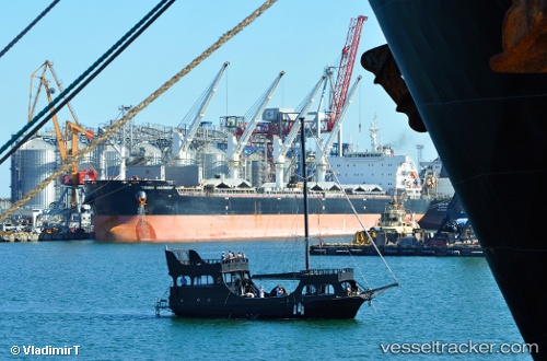
Tomini Harmony
Current StatusLive Vessel Tomini Harmony Analytics (details, animations, etc.)
Where is the vessel?
Tomini Harmony is currently in Near Saint James Parish, based on AIS data received about 2h ago.
Latest AIS update:
Current position: 30.00705° N, 90.83059° W (Near Saint James Parish)
Vessel profile: Tomini Harmony is a Bulk Carrier with dimensions 199m x 32m.
This page combines live AIS, route history, probable destination signals, nearby traffic, and port activity for practical vessel monitoring.
The current position of vessel Tomini Harmony is 30.00705 lat / -90.83059 lng. Updated: 2026-03-25 05:27:45 UTCNearest reference points:
- Near Port Of South Louisiana
- Near Good Hope
- Near Amelia
Currently sailing under the flag of Marshall Is
Details:
Recent AIS points (UTC):
2026-03-25 00:03:50 UTC · 30.00699, -90.83060 · SOG 0 kn · COG 356°2026-03-25 01:27:45 UTC · 30.00698, -90.83052 · SOG 0.1 kn · COG 354°
2026-03-25 03:39:44 UTC · 30.00701, -90.83056 · SOG 0 kn · COG 353°
2026-03-25 05:27:45 UTC · 30.00705, -90.83059 · SOG 0 kn · COG 353°