 vesseltracker.com
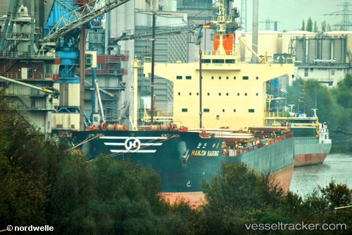
Vessel Star Astrid IMO: 9582453, MMSI: 538006910 Bulk Carrier
UTC, 23.59328, 62.51812, course: 301, speed: 0.7
UTC, 23.60078, 62.54083, course: 327, speed: 0.8
2026-02-26 11:16:32 UTC, 23.61079, 62.55768, course: -1, speed: 0.8
Live AIS position:
UTC. 145 nm SE of Chabahar),
updated 2026-02-26 11:16:32 UTC.
Find the position of the vessel Star Astrid on the map. The latter are known coordinates and path.
marine traffic ship tracker show on live map
The current position of vessel Star Astrid is 23.61079 lat / 62.55768 lng. Updated: 2026-02-26 11:16:32 UTCCurrently sailing under the flag of Marshall Is
Star Astrid built in 2012 year
Deadweight:
82158 tDetails:
Last coordinates of the vessel:
UTC, 23.58749, 62.48434, course: 278, speed: 0.2UTC, 23.59328, 62.51812, course: 301, speed: 0.7
UTC, 23.60078, 62.54083, course: 327, speed: 0.8
2026-02-26 11:16:32 UTC, 23.61079, 62.55768, course: -1, speed: 0.8