 vesseltracker.com
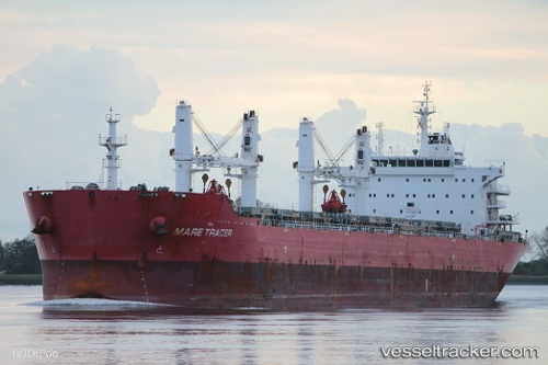
Vessel E Tracer IMO: 9567439, MMSI: 538007541 Bulk Carrier
UTC, 30.08940, 121.95289, course: -1, speed: 0
UTC, 30.08937, 121.95288, course: -1, speed: 0
2026-03-20 13:57:50 UTC, 30.08936, 121.95288, course: -1, speed: 0
Live Vessel E Tracer Analytics (details, animations, etc.)
Live AIS position: UTC. Near Majistan/Zhoushan), updated 2026-03-20 13:57:50 UTC.Find the position of the vessel E Tracer on the map. The latter are known coordinates and path.
marine traffic ship tracker show on live map
The current position of vessel E Tracer is 30.08936 lat / 121.95288 lng. Updated: 2026-03-20 13:57:50 UTCDetails:
Last coordinates of the vessel:
UTC, 30.08939, 121.95290, course: -1, speed: 0UTC, 30.08940, 121.95289, course: -1, speed: 0
UTC, 30.08937, 121.95288, course: -1, speed: 0
2026-03-20 13:57:50 UTC, 30.08936, 121.95288, course: -1, speed: 0