 vesseltracker.com
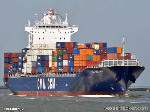
Vessel Navios Amaranth IMO: 9334143, MMSI: 538007628 Container Ship
UTC, 22.63659, 178.00832, course: 279, speed: 11.5
UTC, 22.74179, 177.41624, course: 280, speed: 11.5
2026-03-24 13:22:45 UTC, 22.78522, 177.16249, course: 282, speed: 10.6
Live Vessel Navios Amaranth Analytics (details, animations, etc.)
Live AIS position: UTC. Open sea (no nearby ports in database)), updated 2026-03-24 13:22:45 UTC.Find the position of the vessel Navios Amaranth on the map. The latter are known coordinates and path.
marine traffic ship tracker show on live map
The current position of vessel Navios Amaranth is 22.78522 lat / 177.16249 lng. Updated: 2026-03-24 13:22:45 UTCDetails:
Last coordinates of the vessel:
UTC, 22.57541, 178.37155, course: 280, speed: 12.2UTC, 22.63659, 178.00832, course: 279, speed: 11.5
UTC, 22.74179, 177.41624, course: 280, speed: 11.5
2026-03-24 13:22:45 UTC, 22.78522, 177.16249, course: 282, speed: 10.6