 vesseltracker.com
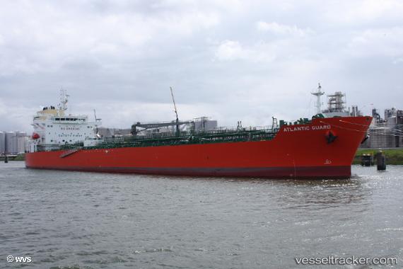
Vessel Atlantic Guard IMO: 9789269, MMSI: 538008368 Chemical Oil Products Tanker
UTC, 17.45667, -80.81667, course: -1, speed: 11
UTC, 17.42974, -80.79052, course: 136, speed: 11
2026-01-17 06:26:02 UTC, 17.17073, -80.54039, course: 134, speed: 11.1
Live AIS position:
UTC. 135 nm S of Grand Cayman),
updated 2026-01-17 06:26:02 UTC.
Find the position of the vessel Atlantic Guard on the map. The latter are known coordinates and path.
marine traffic ship tracker show on live map
The current position of vessel Atlantic Guard is 17.17073 lat / -80.54039 lng. Updated: 2026-01-17 06:26:02 UTCDetails:
Last coordinates of the vessel:
UTC, 17.64167, -80.99333, course: -1, speed: 11UTC, 17.45667, -80.81667, course: -1, speed: 11
UTC, 17.42974, -80.79052, course: 136, speed: 11
2026-01-17 06:26:02 UTC, 17.17073, -80.54039, course: 134, speed: 11.1