 vesseltracker.com
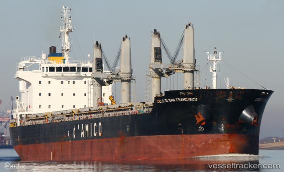
Vessel IPPOKRATIS IMO: 9585663, MMSI: 538009398 General Cargo Ship
UTC, 25.53028, -87.31859, course: 298, speed: 12.7
UTC, 25.78101, -87.74404, course: -1, speed: 13.8
2026-03-12 20:10:56 UTC, 26.28907, -88.07091, course: -1, speed: 14.2
Live Vessel IPPOKRATIS Analytics (details, animations, etc.)
Live AIS position: UTC. 172 nm SE of Gulfmex Lightering Area), updated 2026-03-12 20:10:56 UTC.Find the position of the vessel IPPOKRATIS on the map. The latter are known coordinates and path.
marine traffic ship tracker show on live map
The current position of vessel IPPOKRATIS is 26.28907 lat / -88.07091 lng. Updated: 2026-03-12 20:10:56 UTCCurrently sailing under the flag of Marshall Islands
IPPOKRATIS built in 2011 year
Deadweight:
37056 tDetails:
Last coordinates of the vessel:
UTC, 25.36860, -87.04876, course: 303, speed: 12.3UTC, 25.53028, -87.31859, course: 298, speed: 12.7
UTC, 25.78101, -87.74404, course: -1, speed: 13.8
2026-03-12 20:10:56 UTC, 26.28907, -88.07091, course: -1, speed: 14.2