 vesseltracker.com
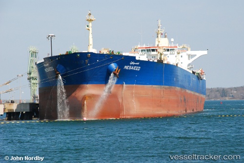
Vessel ARGEUS IMO: 9299745, MMSI: 538009479 Oil Products Tanker
UTC, 38.80069, 118.68411, course: 97, speed: 11
UTC, 38.80069, 118.68411, course: 97, speed: 11
2026-02-22 04:08:57 UTC, 38.80069, 118.68411, course: 97, speed: 11
Live AIS position:
UTC. 11 nm SE of Caofeidian Pt),
updated 2026-02-22 04:08:57 UTC.
Find the position of the vessel ARGEUS on the map. The latter are known coordinates and path.
marine traffic ship tracker show on live map
The current position of vessel ARGEUS is 38.80069 lat / 118.68411 lng. Updated: 2026-02-22 04:08:57 UTCCurrently sailing under the flag of Marshall Islands
ARGEUS built in 2006 year
Deadweight:
106007 tDetails:
Last coordinates of the vessel:
UTC, 38.80069, 118.68411, course: 97, speed: 11UTC, 38.80069, 118.68411, course: 97, speed: 11
UTC, 38.80069, 118.68411, course: 97, speed: 11
2026-02-22 04:08:57 UTC, 38.80069, 118.68411, course: 97, speed: 11