 vesseltracker.com
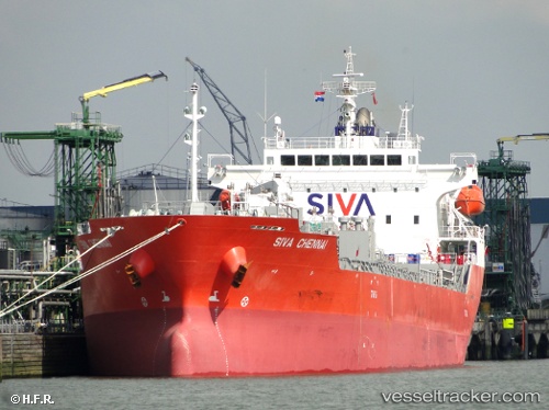
Vessel SONGA NEPTUNE IMO: 9565766, MMSI: 538010477 Oil/Chemical Tanker
UTC, 27.07894, 49.68137, course: -1, speed: 0.1
UTC, 27.07893, 49.68137, course: 179, speed: 0
2026-02-27 21:20:11 UTC, 27.07893, 49.68139, course: -1, speed: 0.1
Live AIS position:
UTC. Near AL JUBAIL),
updated 2026-02-27 21:20:11 UTC.
Find the position of the vessel SONGA NEPTUNE on the map. The latter are known coordinates and path.
marine traffic ship tracker show on live map
The current position of vessel SONGA NEPTUNE is 27.07893 lat / 49.68139 lng. Updated: 2026-02-27 21:20:11 UTCCurrently sailing under the flag of Marshall Islands
Details:
Last coordinates of the vessel:
UTC, 27.07889, 49.68138, course: 179, speed: 0.1UTC, 27.07894, 49.68137, course: -1, speed: 0.1
UTC, 27.07893, 49.68137, course: 179, speed: 0
2026-02-27 21:20:11 UTC, 27.07893, 49.68139, course: -1, speed: 0.1