 vesseltracker.com
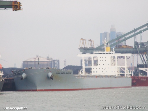
Vessel CAPE XL IMO: 9590826, MMSI: 538010483 Bulk Carrier
UTC, -22.09645, 53.01505, course: 234, speed: 10.8
UTC, -22.20500, 52.84333, course: -1, speed: 10
2026-02-26 14:24:01 UTC, -22.50260, 52.37450, course: 231, speed: 10.5
Live AIS position:
UTC. 182 nm SW of Les Avirons),
updated 2026-02-26 14:24:01 UTC.
Find the position of the vessel CAPE XL on the map. The latter are known coordinates and path.
marine traffic ship tracker show on live map
The current position of vessel CAPE XL is -22.50260 lat / 52.37450 lng. Updated: 2026-02-26 14:24:01 UTCCurrently sailing under the flag of Marshall Islands
Details:
Last coordinates of the vessel:
UTC, -21.80167, 53.46167, course: -1, speed: 11UTC, -22.09645, 53.01505, course: 234, speed: 10.8
UTC, -22.20500, 52.84333, course: -1, speed: 10
2026-02-26 14:24:01 UTC, -22.50260, 52.37450, course: 231, speed: 10.5