 vesseltracker.com
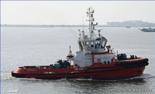
Vessel LEO IMO: 9652143, MMSI: 538010638 Tug
UTC, -8.75690, 13.28910, course: 101, speed: 0.1
UTC, -8.75667, 13.29000, course: -1, speed: 0
2026-02-24 09:40:46 UTC, -8.79584, 13.25884, course: 68, speed: 0.1
Live AIS position:
UTC. Near Luanda),
updated 2026-02-24 09:40:46 UTC.
Find the position of the vessel LEO on the map. The latter are known coordinates and path.
marine traffic ship tracker show on live map
The current position of vessel LEO is -8.79584 lat / 13.25884 lng. Updated: 2026-02-24 09:40:46 UTCCurrently sailing under the flag of Marshall Islands
Details:
Last coordinates of the vessel:
UTC, -8.75667, 13.28833, course: -1, speed: 0UTC, -8.75690, 13.28910, course: 101, speed: 0.1
UTC, -8.75667, 13.29000, course: -1, speed: 0
2026-02-24 09:40:46 UTC, -8.79584, 13.25884, course: 68, speed: 0.1