 vesseltracker.com
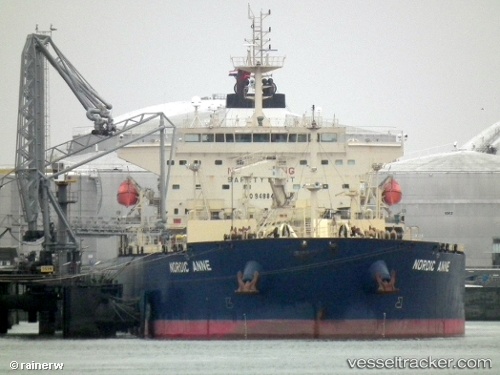
Vessel VOULA IMO: 9488413, MMSI: 538011039 Oil Products Tanker
UTC, 34.25628, 10.16258, course: -1, speed: 0
UTC, 34.25645, 10.16172, course: -1, speed: 0
2026-02-27 07:32:46 UTC, 34.25642, 10.16218, course: -1, speed: 0
Live AIS position:
UTC. Near As Sukhayrah),
updated 2026-02-27 07:32:46 UTC.
Find the position of the vessel VOULA on the map. The latter are known coordinates and path.
marine traffic ship tracker show on live map
The current position of vessel VOULA is 34.25642 lat / 10.16218 lng. Updated: 2026-02-27 07:32:46 UTCCurrently sailing under the flag of Marshall Islands
Details:
Last coordinates of the vessel:
UTC, 34.25727, 10.16098, course: -1, speed: 0UTC, 34.25628, 10.16258, course: -1, speed: 0
UTC, 34.25645, 10.16172, course: -1, speed: 0
2026-02-27 07:32:46 UTC, 34.25642, 10.16218, course: -1, speed: 0