 vesseltracker.com
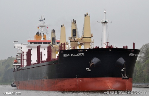
Vessel CAPE GEORGE IMO: 9496331, MMSI: 538011040 Bulk Carrier
UTC, -32.65667, -60.73333, course: -1, speed: 0
UTC, -32.65667, -60.73333, course: -1, speed: 0
2026-02-26 14:27:26 UTC, -32.65667, -60.73333, course: -1, speed: 0
Live AIS position:
UTC. Near Resinfor),
updated 2026-02-26 14:27:26 UTC.
Find the position of the vessel CAPE GEORGE on the map. The latter are known coordinates and path.
marine traffic ship tracker show on live map
The current position of vessel CAPE GEORGE is -32.65667 lat / -60.73333 lng. Updated: 2026-02-26 14:27:26 UTCCurrently sailing under the flag of Marshall Islands
Details:
Last coordinates of the vessel:
UTC, -32.65699, -60.73398, course: -1, speed: 0.5UTC, -32.65667, -60.73333, course: -1, speed: 0
UTC, -32.65667, -60.73333, course: -1, speed: 0
2026-02-26 14:27:26 UTC, -32.65667, -60.73333, course: -1, speed: 0