 vesseltracker.com
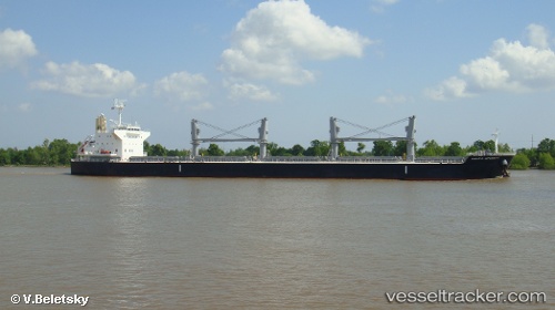
Vessel KRAIT IMO: 9622837, MMSI: 538011123 Cargo
UTC, 32.90841, -79.94693, course: 85, speed: 0.1
UTC, 32.90842, -79.94696, course: 85, speed: 0
2026-02-25 08:06:42 UTC, 32.90838, -79.94694, course: 86, speed: 0
Live AIS position:
UTC. Near Daniel Island),
updated 2026-02-25 08:06:42 UTC.
Find the position of the vessel KRAIT on the map. The latter are known coordinates and path.
marine traffic ship tracker show on live map
The current position of vessel KRAIT is 32.90838 lat / -79.94694 lng. Updated: 2026-02-25 08:06:42 UTCCurrently sailing under the flag of Marshall Islands
Details:
Last coordinates of the vessel:
UTC, 32.90837, -79.94696, course: 84, speed: 0UTC, 32.90841, -79.94693, course: 85, speed: 0.1
UTC, 32.90842, -79.94696, course: 85, speed: 0
2026-02-25 08:06:42 UTC, 32.90838, -79.94694, course: 86, speed: 0