 vesseltracker.com
 MAYFAIR
Current Status
Where is the vessel?
MAYFAIR is currently in 62 nm NE of Nandiambakkam, based on AIS data received about 9h ago.
Latest AIS update:
Current position: 14.19151° N, 81.19481° E (62 nm NE of Nandiambakkam)
Average speed (last 7 days): Loading…
Average speed (last 30 days): Loading…
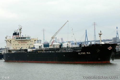
Vessel profile: MAYFAIR is a Oil/Chemical Tanker with dimensions m x m.
This page combines live AIS, route history, probable destination signals, nearby traffic, and port activity for practical vessel monitoring.
The current position of vessel MAYFAIR is 14.19151 lat / 81.19481 lng. Updated: 2026-03-24 22:53:31 UTCNearest reference points:
- 17 nm NE of Nandiambakkam
- 80 nm E of Nandiambakkam
- Near Madras
Currently sailing under the flag of Marshall Islands ![]()
Details:
Live Vessel MAYFAIR Analytics (details, animations, etc.)
Recent AIS points (UTC):
2026-03-24 21:28:32 UTC · 13.93589, 81.00131 · SOG 13.5 kn · COG 41°2026-03-24 22:53:31 UTC · 14.19151, 81.19481 · SOG 13.3 kn · COG 37°
2026-03-24 22:53:31 UTC · 14.19151, 81.19481 · SOG 13.3 kn · COG 37°
2026-03-24 22:53:31 UTC · 14.19151, 81.19481 · SOG 13.3 kn · COG 37°