 vesseltracker.com
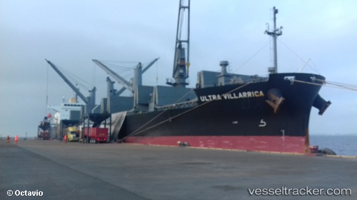
Vessel FERUSA R IMO: 9668556, MMSI: 538011392 Cargo
UTC, 47.49454, -131.50284, course: 123, speed: 12.8
UTC, 47.27667, -131.01167, course: -1, speed: 12
2026-03-20 15:55:08 UTC, 47.02264, -130.45531, course: 117, speed: 13
Live Vessel FERUSA R Analytics (details, animations, etc.)
Live AIS position: UTC. 217 nm SW of Nootka), updated 2026-03-20 15:55:08 UTC.Find the position of the vessel FERUSA R on the map. The latter are known coordinates and path.
marine traffic ship tracker show on live map
The current position of vessel FERUSA R is 47.02264 lat / -130.45531 lng. Updated: 2026-03-20 15:55:08 UTCCurrently sailing under the flag of Marshall Islands
Details:
Last coordinates of the vessel:
UTC, 47.74602, -132.04903, course: 119, speed: 12.9UTC, 47.49454, -131.50284, course: 123, speed: 12.8
UTC, 47.27667, -131.01167, course: -1, speed: 12
2026-03-20 15:55:08 UTC, 47.02264, -130.45531, course: 117, speed: 13