 vesseltracker.com
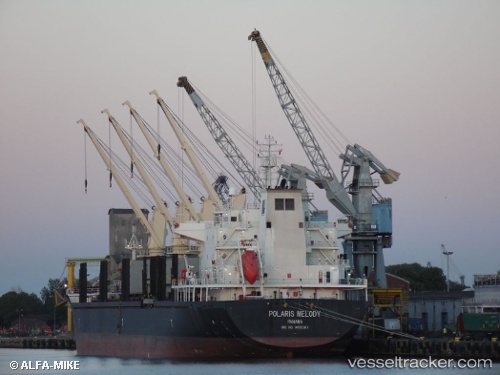
Vessel AM PURPOSE IMO: 9455387, MMSI: 538011859 Bulk Carrier
UTC, 44.45590, 12.24900, course: 202, speed: 0
UTC, 44.45590, 12.24900, course: 200, speed: 0
2026-02-22 19:32:09 UTC, 44.45590, 12.24899, course: 202, speed: 0
Live AIS position:
UTC. Near Porto San Vitale),
updated 2026-02-22 19:32:09 UTC.
Find the position of the vessel AM PURPOSE on the map. The latter are known coordinates and path.
marine traffic ship tracker show on live map
The current position of vessel AM PURPOSE is 44.45590 lat / 12.24899 lng. Updated: 2026-02-22 19:32:09 UTCCurrently sailing under the flag of Marshall Islands
Details:
Last coordinates of the vessel:
UTC, 44.45590, 12.24901, course: 202, speed: 0UTC, 44.45590, 12.24900, course: 202, speed: 0
UTC, 44.45590, 12.24900, course: 200, speed: 0
2026-02-22 19:32:09 UTC, 44.45590, 12.24899, course: 202, speed: 0