 vesseltracker.com
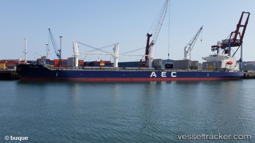
Vessel MANTA OMER MECIT IMO: 9737058, MMSI: 538011910 Cargo
UTC, 26.74667, 34.66500, course: -1, speed: 9
UTC, 27.00361, 34.50055, course: 327, speed: 9.2
2026-02-26 07:25:19 UTC, 27.16115, 34.38628, course: 333, speed: 9.9
Live AIS position:
UTC. 29 nm E of HURGHADA),
updated 2026-02-26 07:25:19 UTC.
Find the position of the vessel MANTA OMER MECIT on the map. The latter are known coordinates and path.
marine traffic ship tracker show on live map
The current position of vessel MANTA OMER MECIT is 27.16115 lat / 34.38628 lng. Updated: 2026-02-26 07:25:19 UTCCurrently sailing under the flag of Marshall Islands
Details:
Last coordinates of the vessel:
UTC, 26.33833, 34.93500, course: -1, speed: 9UTC, 26.74667, 34.66500, course: -1, speed: 9
UTC, 27.00361, 34.50055, course: 327, speed: 9.2
2026-02-26 07:25:19 UTC, 27.16115, 34.38628, course: 333, speed: 9.9