 vesseltracker.com
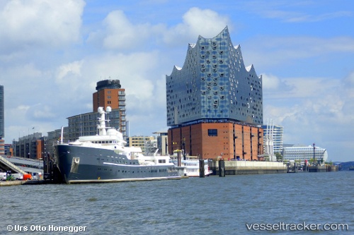
Vessel AQUA LARES IMO: 7367835, MMSI: 538011991 Yacht
UTC, -10.07747, 47.70819, course: 308, speed: 6
UTC, -9.88333, 47.23500, course: -1, speed: 11
2026-03-24 20:04:44 UTC, -9.75500, 46.91167, course: -1, speed: 10
Live Vessel AQUA LARES Analytics (details, animations, etc.)
Live AIS position: UTC. 205 nm NE of Koungou), updated 2026-03-24 20:04:44 UTC.Find the position of the vessel AQUA LARES on the map. The latter are known coordinates and path.
marine traffic ship tracker show on live map
The current position of vessel AQUA LARES is -9.75500 lat / 46.91167 lng. Updated: 2026-03-24 20:04:44 UTCCurrently sailing under the flag of Marshall Islands
Details:
Last coordinates of the vessel:
UTC, -10.06033, 47.71534, course: 3, speed: 1.5UTC, -10.07747, 47.70819, course: 308, speed: 6
UTC, -9.88333, 47.23500, course: -1, speed: 11
2026-03-24 20:04:44 UTC, -9.75500, 46.91167, course: -1, speed: 10