 vesseltracker.com
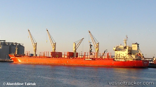
Vessel SKYFALL IMO: 9582427, MMSI: 538012000 Bulk Carrier
UTC, 46.95059, -135.14021, course: 96, speed: 12
UTC, 46.88732, -134.60219, course: 99, speed: 12.2
2026-03-20 15:54:44 UTC, 46.82500, -133.97333, course: -1, speed: 12
Live Vessel SKYFALL Analytics (details, animations, etc.)
Live AIS position: UTC. 108 nm NE of Primorsky Krai), updated 2026-03-20 15:54:44 UTC.Find the position of the vessel SKYFALL on the map. The latter are known coordinates and path.
marine traffic ship tracker show on live map
The current position of vessel SKYFALL is 46.82500 lat / -133.97333 lng. Updated: 2026-03-20 15:54:44 UTCCurrently sailing under the flag of Marshall Islands
Details:
Last coordinates of the vessel:
UTC, 47.01652, -135.77808, course: 98, speed: 11.9UTC, 46.95059, -135.14021, course: 96, speed: 12
UTC, 46.88732, -134.60219, course: 99, speed: 12.2
2026-03-20 15:54:44 UTC, 46.82500, -133.97333, course: -1, speed: 12