 vesseltracker.com
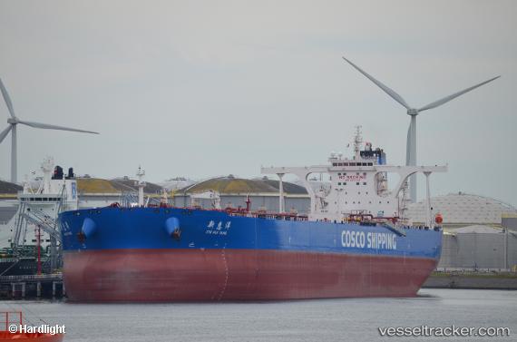
Vessel Xin Hui Yang IMO: 9771743, MMSI: 563046600 Crude Oil Tanker
UTC, 21.62053, 115.23625, course: 71, speed: 12
UTC, 21.65826, 115.37022, course: 71, speed: 12
2026-01-19 16:53:05 UTC, 21.73015, 115.62702, course: 71, speed: 11.8
Live AIS position:
UTC. 50 nm NE of Xijiang),
updated 2026-01-19 16:53:05 UTC.
Find the position of the vessel Xin Hui Yang on the map. The latter are known coordinates and path.
marine traffic ship tracker show on live map
The current position of vessel Xin Hui Yang is 21.73015 lat / 115.62702 lng. Updated: 2026-01-19 16:53:05 UTCDetails:
Last coordinates of the vessel:
UTC, 21.56995, 115.08174, course: 65, speed: 12UTC, 21.62053, 115.23625, course: 71, speed: 12
UTC, 21.65826, 115.37022, course: 71, speed: 12
2026-01-19 16:53:05 UTC, 21.73015, 115.62702, course: 71, speed: 11.8