 vesseltracker.com
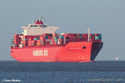
Rio De La Plata
Current StatusWhere is the vessel?
Rio De La Plata is currently in 85 nm SW of STEWART ISLAND, based on AIS data received about 2h ago.
Latest AIS update:
Current position: 47.53167° S, 166.27167° E (85 nm SW of STEWART ISLAND)
Average speed (last 7 days): Loading…
Average speed (last 30 days): Loading…
Vessel profile: Rio De La Plata is a Container Ship with dimensions 40m x 286m.
This page combines live AIS, route history, probable destination signals, nearby traffic, and port activity for practical vessel monitoring.
The current position of vessel Rio De La Plata is -47.53167 lat / 166.27167 lng. Updated: 2026-03-26 02:12:05 UTCDetails:
Live Vessel Rio De La Plata Analytics (details, animations, etc.)
Recent AIS points (UTC):
2026-03-25 20:20:32 UTC · -47.26366, 168.35440 · SOG 14 kn · COG 263°2026-03-25 21:22:17 UTC · -47.29299, 167.99750 · SOG 14.6 kn · COG 264°
2026-03-26 00:18:05 UTC · -47.50333, 166.97501 · SOG 15 kn · COG -1°
2026-03-26 02:12:05 UTC · -47.53167, 166.27167 · SOG 14 kn · COG -1°