 vesseltracker.com
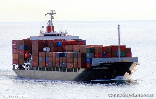
Vessel ANDERSON DRAGON IMO: 9470739, MMSI: 563129600 Container Ship
UTC, 26.44812, 119.71561, course: 320, speed: 0
UTC, 26.44812, 119.71565, course: 319, speed: 0
2026-03-19 08:07:20 UTC, 26.44812, 119.71563, course: 319, speed: 0
Live Vessel ANDERSON DRAGON Analytics (details, animations, etc.)
Live AIS position: UTC. Near Luoyuanwan), updated 2026-03-19 08:07:20 UTC.Find the position of the vessel ANDERSON DRAGON on the map. The latter are known coordinates and path.
marine traffic ship tracker show on live map
The current position of vessel ANDERSON DRAGON is 26.44812 lat / 119.71563 lng. Updated: 2026-03-19 08:07:20 UTCCurrently sailing under the flag of Singapore
ANDERSON DRAGON built in 2008 year
Deadweight:
21972 tDetails:
Last coordinates of the vessel:
UTC, 26.44493, 119.71947, course: 298, speed: 0UTC, 26.44812, 119.71561, course: 320, speed: 0
UTC, 26.44812, 119.71565, course: 319, speed: 0
2026-03-19 08:07:20 UTC, 26.44812, 119.71563, course: 319, speed: 0