 vesseltracker.com
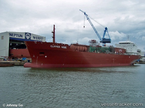
SANMAR REGINA
Current StatusLive Vessel SANMAR REGINA Analytics (details, animations, etc.)
Latest AIS update:
Current position: 31.47333° N, 57.41333° W (368 nm N of Villa Elisa)
This page shows the vessel’s latest location, recent movement, and operational context from ShipInfo and TOPOS data.
Open the map below to view live position, track history, probable destinations, and nearby traffic.
The current position of vessel SANMAR REGINA is 31.47333 lat / -57.41333 lng. Updated: 2026-03-25 05:55:15 UTCNearest reference points:
- 311 nm E of Saint George
- 247 nm E of Saint George
Currently sailing under the flag of Singapore
Details:
Last coordinates of the vessel:
2026-03-24 23:19:15 UTC, 32.18167, -55.80833, course: -1, speed: 132026-03-25 02:22:14 UTC, 31.85500, -56.55333, course: -1, speed: 13
2026-03-25 03:55:12 UTC, 31.68500, -56.92500, course: -1, speed: 14
2026-03-25 05:55:15 UTC, 31.47333, -57.41333, course: -1, speed: 13