 vesseltracker.com
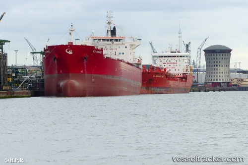
Vessel TORM DUBAI IMO: 9681390, MMSI: 563315300 Tanker
UTC, 49.29689, -123.20421, course: 204, speed: 0.1
UTC, 49.29684, -123.20700, course: 128, speed: 0
2026-03-20 13:47:27 UTC, 49.29609, -123.20754, course: 92, speed: 0.1
Live Vessel TORM DUBAI Analytics (details, animations, etc.)
Live AIS position: UTC. Near Burrard Inlet), updated 2026-03-20 13:47:27 UTC.Find the position of the vessel TORM DUBAI on the map. The latter are known coordinates and path.
marine traffic ship tracker show on live map
The current position of vessel TORM DUBAI is 49.29609 lat / -123.20754 lng. Updated: 2026-03-20 13:47:27 UTCCurrently sailing under the flag of Singapore
Details:
Last coordinates of the vessel:
UTC, 49.29534, -123.20326, course: 297, speed: 0UTC, 49.29689, -123.20421, course: 204, speed: 0.1
UTC, 49.29684, -123.20700, course: 128, speed: 0
2026-03-20 13:47:27 UTC, 49.29609, -123.20754, course: 92, speed: 0.1