 vesseltracker.com
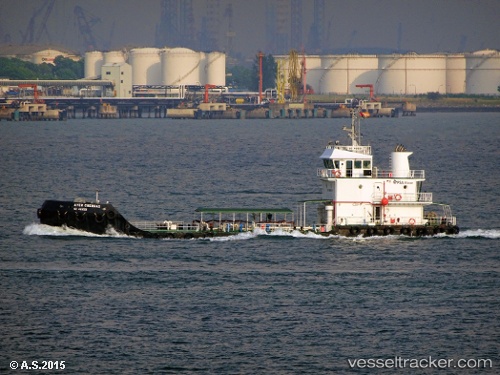
Vessel Ayer Cherdas IMO: 9698745, MMSI: 565102000 Water Tanker
UTC, 1.28817, 103.97152, course: -1, speed: 0.1
UTC, 1.28677, 103.96881, course: -1, speed: 1
2026-02-15 09:58:45 UTC, 1.28499, 104.00826, course: -1, speed: 0.2
Live AIS position:
UTC. Near TANAH MERAH),
updated 2026-02-15 09:58:45 UTC.
Find the position of the vessel Ayer Cherdas on the map. The latter are known coordinates and path.
marine traffic ship tracker show on live map
The current position of vessel Ayer Cherdas is 1.28499 lat / 104.00826 lng. Updated: 2026-02-15 09:58:45 UTCCurrently sailing under the flag of Singapore
Details:
Last coordinates of the vessel:
UTC, 1.28791, 103.97131, course: -1, speed: 0.1UTC, 1.28817, 103.97152, course: -1, speed: 0.1
UTC, 1.28677, 103.96881, course: -1, speed: 1
2026-02-15 09:58:45 UTC, 1.28499, 104.00826, course: -1, speed: 0.2