 vesseltracker.com
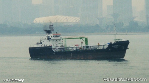
Vessel Aranda IMO: 9601211, MMSI: 566065000 Service Ship
UTC, 1.19684, 103.74113, course: 130, speed: 0
UTC, 1.19630, 103.74447, course: 128, speed: 0.1
2026-01-16 16:20:30 UTC, 1.19623, 103.74438, course: 119, speed: 0
Live AIS position:
UTC. Near BUKOM ISLAND),
updated 2026-01-16 16:20:30 UTC.
Find the position of the vessel Aranda on the map. The latter are known coordinates and path.
marine traffic ship tracker show on live map
The current position of vessel Aranda is 1.19623 lat / 103.74438 lng. Updated: 2026-01-16 16:20:30 UTCCurrently sailing under the flag of Singapore
Details:
Last coordinates of the vessel:
UTC, 1.19677, 103.74101, course: 122, speed: 0UTC, 1.19684, 103.74113, course: 130, speed: 0
UTC, 1.19630, 103.74447, course: 128, speed: 0.1
2026-01-16 16:20:30 UTC, 1.19623, 103.74438, course: 119, speed: 0