 vesseltracker.com
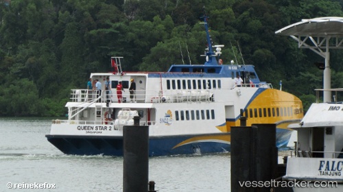
Vessel Queen Star 2 IMO: 9571026, MMSI: 566156000 Passenger Ship
UTC, 1.13385, 104.05554, course: -1, speed: 0.6
UTC, 1.13385, 104.05554, course: -1, speed: 0.6
2026-02-27 14:25:10 UTC, 1.13385, 104.05554, course: -1, speed: 0.6
Live AIS position:
UTC. Near Batam Island),
updated 2026-02-27 14:25:10 UTC.
Find the position of the vessel Queen Star 2 on the map. The latter are known coordinates and path.
marine traffic ship tracker show on live map
The current position of vessel Queen Star 2 is 1.13385 lat / 104.05554 lng. Updated: 2026-02-27 14:25:10 UTCDetails:
Last coordinates of the vessel:
UTC, 1.13382, 104.05550, course: -1, speed: 2UTC, 1.13385, 104.05554, course: -1, speed: 0.6
UTC, 1.13385, 104.05554, course: -1, speed: 0.6
2026-02-27 14:25:10 UTC, 1.13385, 104.05554, course: -1, speed: 0.6