 vesseltracker.com
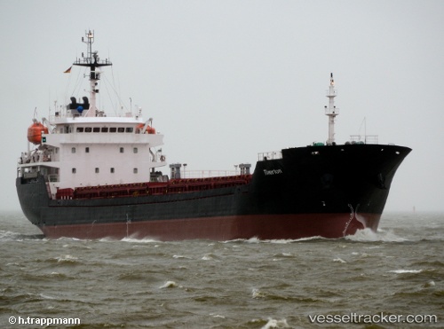
Vessel ALTAY IMO: 9349992, MMSI: 572834220 Bulk Carrier
UTC, 42.59731, -8.77452, course: 281, speed: 0
UTC, 42.59730, -8.77452, course: 281, speed: 0
2026-03-03 22:17:17 UTC, 42.59732, -8.77451, course: 281, speed: 0
Live AIS position:
UTC. Near Sobradelo),
updated 2026-03-03 22:17:17 UTC.
Find the position of the vessel ALTAY on the map. The latter are known coordinates and path.
marine traffic ship tracker show on live map
The current position of vessel ALTAY is 42.59732 lat / -8.77451 lng. Updated: 2026-03-03 22:17:17 UTCCurrently sailing under the flag of Tuvalu
Details:
Last coordinates of the vessel:
UTC, 42.59729, -8.77451, course: 281, speed: 0UTC, 42.59731, -8.77452, course: 281, speed: 0
UTC, 42.59730, -8.77452, course: 281, speed: 0
2026-03-03 22:17:17 UTC, 42.59732, -8.77451, course: 281, speed: 0