 vesseltracker.com
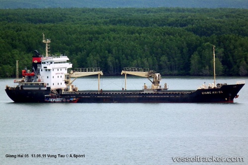
Vessel Giang Hai IMO: 9557329, MMSI: 574000350 Bulk Carrier
UTC, 9.47329, 107.20718, course: 77, speed: 0.4
UTC, 9.99672, 107.60327, course: 456, speed: 0.8
2026-02-25 15:59:52 UTC, 9.99630, 107.60858, course: 456, speed: 1
Live AIS position:
UTC. 25 nm NW of Bach Ho),
updated 2026-02-25 15:59:52 UTC.
Find the position of the vessel Giang Hai on the map. The latter are known coordinates and path.
marine traffic ship tracker show on live map
The current position of vessel Giang Hai is 9.99630 lat / 107.60858 lng. Updated: 2026-02-25 15:59:52 UTCDetails:
Last coordinates of the vessel:
UTC, 9.47329, 107.20718, course: 77, speed: 0.4UTC, 9.47329, 107.20718, course: 77, speed: 0.4
UTC, 9.99672, 107.60327, course: 456, speed: 0.8
2026-02-25 15:59:52 UTC, 9.99630, 107.60858, course: 456, speed: 1