 PHRYGIA
Current Status
Where is the vessel?
PHRYGIA is currently in 31 nm N of Gerze, based on AIS data received about 14h ago.
Latest AIS update:
Current position: 42.12897° N, 36.40507° E (31 nm N of Gerze)
Average speed (last 7 days): Loading…
Average speed (last 30 days): Loading…
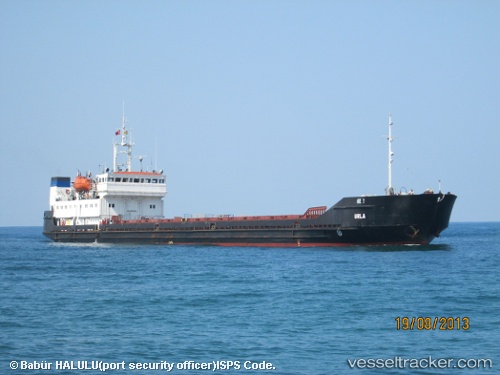
Vessel profile: PHRYGIA is a General Cargo with dimensions m x m.
This page combines live AIS, route history, probable destination signals, nearby traffic, and port activity for practical vessel monitoring.
The current position of vessel PHRYGIA is 42.12897 lat / 36.40507 lng. Updated: 2026-05-23 15:23:58 UTCNearest reference points:
- 54 nm NE of Sinop
- Near Samsun
- 22 nm E of Sinop
Currently sailing under the flag of Vanuatu ![]()
Details:
Live Vessel PHRYGIA Analytics (details, animations, etc.)
Recent AIS points (UTC):
2026-05-22 20:54:55 UTC · 44.29782, 36.42643 · SOG 6.6 kn · COG -1°2026-05-23 13:12:25 UTC · 42.39898, 36.40218 · SOG 7.1 kn · COG -1°
2026-05-23 14:02:32 UTC · 42.29870, 36.40942 · SOG 7.3 kn · COG -1°
2026-05-23 15:23:58 UTC · 42.12897, 36.40507 · SOG 7.7 kn · COG 189°