 vesseltracker.com
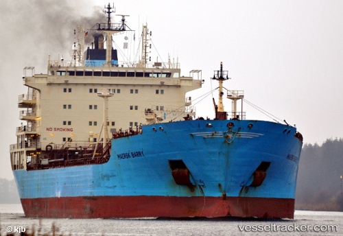
Vessel PAOLA IMO: 9299458, MMSI: 610000065 Oil/Chemical Tanker
UTC, 29.41459, 48.89054, course: -1, speed: 0
UTC, 29.41442, 48.88990, course: -1, speed: 0
2026-03-20 14:27:09 UTC, 29.41523, 48.88825, course: -1, speed: 0
Live Vessel PAOLA Analytics (details, animations, etc.)
Live AIS position: UTC. 20 nm S of Basrah Oil Terminal), updated 2026-03-20 14:27:09 UTC.Find the position of the vessel PAOLA on the map. The latter are known coordinates and path.
marine traffic ship tracker show on live map
The current position of vessel PAOLA is 29.41523 lat / 48.88825 lng. Updated: 2026-03-20 14:27:09 UTCCurrently sailing under the flag of Benin
Details:
Last coordinates of the vessel:
UTC, 29.41450, 48.88962, course: -1, speed: 0UTC, 29.41459, 48.89054, course: -1, speed: 0
UTC, 29.41442, 48.88990, course: -1, speed: 0
2026-03-20 14:27:09 UTC, 29.41523, 48.88825, course: -1, speed: 0