 vesseltracker.com
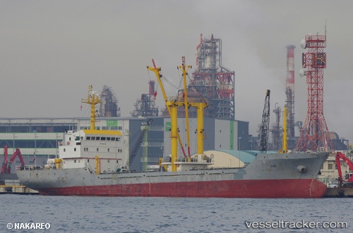
Vessel DORIS IMO: 9221449, MMSI: 613003641 General Cargo Ship
UTC, 37.24640, 119.19141, course: 164, speed: 0.1
UTC, 37.24642, 119.19143, course: 165, speed: 0
2026-03-25 00:13:58 UTC, 37.24644, 119.19142, course: 164, speed: 0
Live Vessel DORIS Analytics (details, animations, etc.)
Live AIS position: UTC. Near Weifang), updated 2026-03-25 00:13:58 UTC.Find the position of the vessel DORIS on the map. The latter are known coordinates and path.
marine traffic ship tracker show on live map
The current position of vessel DORIS is 37.24644 lat / 119.19142 lng. Updated: 2026-03-25 00:13:58 UTCCurrently sailing under the flag of Cameroon
DORIS built in 1999 year
Deadweight:
2938 tDetails:
Last coordinates of the vessel:
UTC, 37.24645, 119.19144, course: 163, speed: 0.1UTC, 37.24640, 119.19141, course: 164, speed: 0.1
UTC, 37.24642, 119.19143, course: 165, speed: 0
2026-03-25 00:13:58 UTC, 37.24644, 119.19142, course: 164, speed: 0