 vesseltracker.com
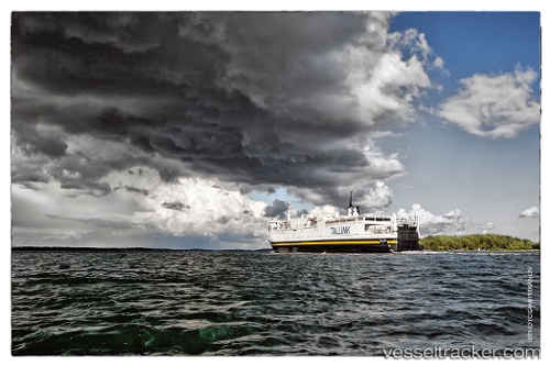
Vessel A WIND IMO: 7128332, MMSI: 613642100 Passenger/Ro-Ro Cargo Ship
UTC, 42.30709, 33.71564, course: 70, speed: 8
UTC, 42.39003, 33.97048, course: 73, speed: 7.9
2026-02-15 21:33:14 UTC, 42.49614, 34.29708, course: 64, speed: 8
Live AIS position:
UTC. 36 nm N of Ayancik),
updated 2026-02-15 21:33:14 UTC.
Find the position of the vessel A WIND on the map. The latter are known coordinates and path.
marine traffic ship tracker show on live map
The current position of vessel A WIND is 42.49614 lat / 34.29708 lng. Updated: 2026-02-15 21:33:14 UTCCurrently sailing under the flag of Cameroon
A WIND built in 1972 year
Deadweight:
4000 tDetails:
Last coordinates of the vessel:
UTC, 42.17496, 33.28988, course: 70, speed: 8.1UTC, 42.30709, 33.71564, course: 70, speed: 8
UTC, 42.39003, 33.97048, course: 73, speed: 7.9
2026-02-15 21:33:14 UTC, 42.49614, 34.29708, course: 64, speed: 8