 vesseltracker.com
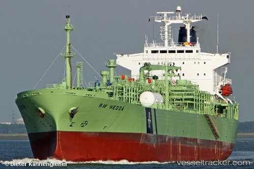
Vessel SARAH IMO: 9014420, MMSI: 620800004 Lpg Tanker
UTC, 19.69833, 37.82167, course: -1, speed: 0
UTC, 19.70167, 37.82667, course: -1, speed: 0
2026-02-25 16:59:29 UTC, 19.70167, 37.82500, course: -1, speed: 0
Live AIS position:
UTC. 34 nm E of Port Sudan),
updated 2026-02-25 16:59:29 UTC.
Find the position of the vessel SARAH on the map. The latter are known coordinates and path.
marine traffic ship tracker show on live map
The current position of vessel SARAH is 19.70167 lat / 37.82500 lng. Updated: 2026-02-25 16:59:29 UTCCurrently sailing under the flag of Comoros
Details:
Last coordinates of the vessel:
UTC, 19.69167, 37.81500, course: -1, speed: 0UTC, 19.69833, 37.82167, course: -1, speed: 0
UTC, 19.70167, 37.82667, course: -1, speed: 0
2026-02-25 16:59:29 UTC, 19.70167, 37.82500, course: -1, speed: 0