 vesseltracker.com
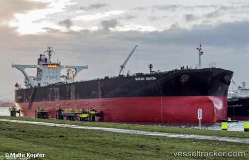
 FOREST EAGLE
Current Status
Where is the vessel?
FOREST EAGLE is currently in 44 nm NE of PENGERANG, based on AIS data received about 403d ago.
Latest AIS update:
Current position: 1.77785° N, 104.75251° E (44 nm NE of PENGERANG)
Average speed (last 7 days): Loading…
Average speed (last 30 days): Loading…
Vessel profile: FOREST EAGLE is a Crude Oil Tanker with dimensions 333m x 333m.
This page combines live AIS, route history, probable destination signals, nearby traffic, and port activity for practical vessel monitoring.
The current position of vessel FOREST EAGLE is 1.77785 lat / 104.75251 lng. Updated: 2025-02-14 23:01:37 UTCNearest reference points:
- 45 nm NE of PENGERANG
- 51 nm NE of PENGERANG
- 53 nm NE of PENGERANG
Currently sailing under the flag of Djibouti ![]()
FOREST EAGLE built in 2003 year
Deadweight:
318692 tDetails:
Live Vessel FOREST EAGLE Analytics (details, animations, etc.)
Recent AIS points (UTC):
2025-02-14 23:01:37 UTC · 1.77785, 104.75251 · SOG 3.1 kn · COG 341°