 vesseltracker.com
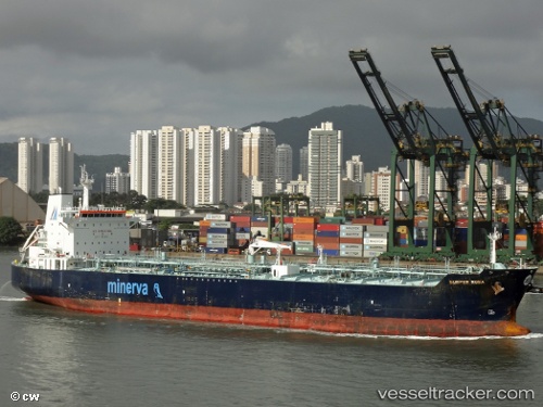
Vessel GLOBAL B IMO: 9276016, MMSI: 630001214 Oil/Chemical Tanker
UTC, 31.54858, 32.31825, course: 39, speed: 0
UTC, 31.54853, 32.31835, course: -1, speed: 0.1
2026-03-03 02:12:22 UTC, 31.54845, 32.31872, course: 18, speed: 0.1
Live AIS position:
UTC. 17 nm N of Port Said),
updated 2026-03-03 02:12:22 UTC.
Find the position of the vessel GLOBAL B on the map. The latter are known coordinates and path.
marine traffic ship tracker show on live map
The current position of vessel GLOBAL B is 31.54845 lat / 32.31872 lng. Updated: 2026-03-03 02:12:22 UTCCurrently sailing under the flag of Guinea
Details:
Last coordinates of the vessel:
UTC, 31.54841, 32.31860, course: 27, speed: 0UTC, 31.54858, 32.31825, course: 39, speed: 0
UTC, 31.54853, 32.31835, course: -1, speed: 0.1
2026-03-03 02:12:22 UTC, 31.54845, 32.31872, course: 18, speed: 0.1