 vesseltracker.com
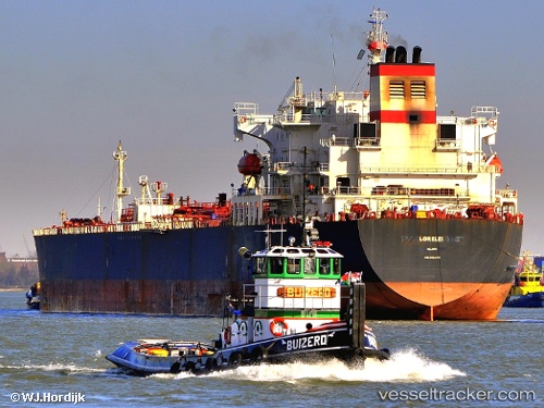
Vessel FLINT WIND IMO: 9314179, MMSI: 630001226 Oil Products Tanker
UTC, -11.38833, -31.11667, course: -1, speed: 12
UTC, -11.01500, -30.96167, course: -1, speed: 12
2026-03-24 14:13:36 UTC, -10.65143, -30.80058, course: 25, speed: 12.3
Live Vessel FLINT WIND Analytics (details, animations, etc.)
Live AIS position: UTC. 280 nm SE of Suape), updated 2026-03-24 14:13:36 UTC.Find the position of the vessel FLINT WIND on the map. The latter are known coordinates and path.
marine traffic ship tracker show on live map
The current position of vessel FLINT WIND is -10.65143 lat / -30.80058 lng. Updated: 2026-03-24 14:13:36 UTCCurrently sailing under the flag of Guinea
Details:
Last coordinates of the vessel:
UTC, -11.76880, -31.28558, course: 26, speed: 12.2UTC, -11.38833, -31.11667, course: -1, speed: 12
UTC, -11.01500, -30.96167, course: -1, speed: 12
2026-03-24 14:13:36 UTC, -10.65143, -30.80058, course: 25, speed: 12.3