 vesseltracker.com
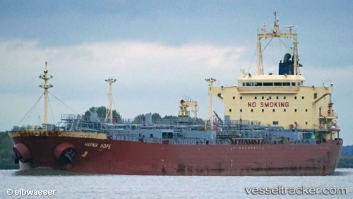
Vessel INDUS 1 IMO: 9360415, MMSI: 631010099 Oil/Chemical Tanker
UTC, 40.76343, 28.62251, course: 357, speed: 2.6
UTC, 40.77623, 28.86286, course: 0, speed: 1.1
2026-03-01 21:45:30 UTC, 40.78979, 28.83305, course: 2, speed: 0.9
Live AIS position:
UTC. Near Kumport),
updated 2026-03-01 21:45:30 UTC.
Find the position of the vessel INDUS 1 on the map. The latter are known coordinates and path.
marine traffic ship tracker show on live map
The current position of vessel INDUS 1 is 40.78979 lat / 28.83305 lng. Updated: 2026-03-01 21:45:30 UTCCurrently sailing under the flag of Equatorial Guinea
Details:
Last coordinates of the vessel:
UTC, 40.75551, 28.67340, course: 312, speed: 0.6UTC, 40.76343, 28.62251, course: 357, speed: 2.6
UTC, 40.77623, 28.86286, course: 0, speed: 1.1
2026-03-01 21:45:30 UTC, 40.78979, 28.83305, course: 2, speed: 0.9