 vesseltracker.com
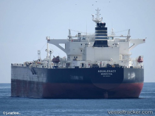
Vessel Aqualegacy IMO: 9601833, MMSI: 636015178 Crude Oil Tanker
UTC, -39.06296, -85.39880, course: 330, speed: 12.5
UTC, -38.72073, -85.62135, course: 332, speed: 12.5
2026-02-27 09:56:53 UTC, -38.38405, -85.84099, course: 335, speed: 12.2
Live AIS position:
UTC. Open sea, approx. 408 nm off the nearest listed port),
updated 2026-02-27 09:56:53 UTC.
Find the position of the vessel Aqualegacy on the map. The latter are known coordinates and path.
marine traffic ship tracker show on live map
The current position of vessel Aqualegacy is -38.38405 lat / -85.84099 lng. Updated: 2026-02-27 09:56:53 UTCDetails:
Last coordinates of the vessel:
UTC, -39.42309, -85.15724, course: 333, speed: 11.7UTC, -39.06296, -85.39880, course: 330, speed: 12.5
UTC, -38.72073, -85.62135, course: 332, speed: 12.5
2026-02-27 09:56:53 UTC, -38.38405, -85.84099, course: 335, speed: 12.2