 vesseltracker.com
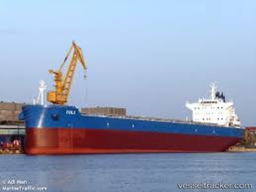
Vessel Ioli IMO: 9601340, MMSI: 636015549 Bulk Carrier
UTC, -33.03868, -60.57892, course: 331, speed: 0
UTC, -33.03868, -60.57892, course: 331, speed: 0
2026-02-14 15:49:14 UTC, -33.03869, -60.57889, course: 331, speed: 0
Live AIS position:
UTC. Near Villa Gobernador Galvez),
updated 2026-02-14 15:49:14 UTC.
Find the position of the vessel Ioli on the map. The latter are known coordinates and path.
marine traffic ship tracker show on live map
The current position of vessel Ioli is -33.03869 lat / -60.57889 lng. Updated: 2026-02-14 15:49:14 UTCCurrently sailing under the flag of Liberia
Ioli built in 2012 year
Deadweight:
81730 tDetails:
Last coordinates of the vessel:
UTC, -33.03870, -60.57892, course: 331, speed: 0UTC, -33.03868, -60.57892, course: 331, speed: 0
UTC, -33.03868, -60.57892, course: 331, speed: 0
2026-02-14 15:49:14 UTC, -33.03869, -60.57889, course: 331, speed: 0