 vesseltracker.com
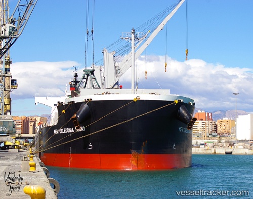
Vessel Valentia Blue IMO: 9520625, MMSI: 636015874 Bulk Carrier
UTC, 29.72186, -95.23774, course: 54, speed: 0
UTC, 29.72186, -95.23772, course: 54, speed: 0
2026-02-04 22:10:17 UTC, 29.72188, -95.23772, course: 54, speed: 0
Live AIS position:
UTC. Near Pasadena),
updated 2026-02-04 22:10:17 UTC.
Find the position of the vessel Valentia Blue on the map. The latter are known coordinates and path.
marine traffic ship tracker show on live map
The current position of vessel Valentia Blue is 29.72188 lat / -95.23772 lng. Updated: 2026-02-04 22:10:17 UTCCurrently sailing under the flag of Liberia
Valentia Blue built in 2013 year
Deadweight:
58086 tDetails:
Last coordinates of the vessel:
UTC, 29.72186, -95.23772, course: 54, speed: 0UTC, 29.72186, -95.23774, course: 54, speed: 0
UTC, 29.72186, -95.23772, course: 54, speed: 0
2026-02-04 22:10:17 UTC, 29.72188, -95.23772, course: 54, speed: 0