 vesseltracker.com
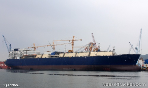
Vessel KOOL BOREAS IMO: 9654880, MMSI: 636016378 LNG Tanker
UTC, 53.49968, -130.05098, course: 311, speed: 12.9
UTC, 53.71559, -130.55548, course: 312, speed: 12.9
2026-02-14 08:34:51 UTC, 54.23840, -131.03313, course: 30, speed: 9.2
Live AIS position:
UTC. 25 nm W of Prince Rupert),
updated 2026-02-14 08:34:51 UTC.
Find the position of the vessel KOOL BOREAS on the map. The latter are known coordinates and path.
marine traffic ship tracker show on live map
The current position of vessel KOOL BOREAS is 54.23840 lat / -131.03313 lng. Updated: 2026-02-14 08:34:51 UTCCurrently sailing under the flag of Liberia
KOOL BOREAS built in 2015 year
Deadweight:
93585 tDetails:
Last coordinates of the vessel:
UTC, 53.19667, -129.63333, course: -1, speed: 11UTC, 53.49968, -130.05098, course: 311, speed: 12.9
UTC, 53.71559, -130.55548, course: 312, speed: 12.9
2026-02-14 08:34:51 UTC, 54.23840, -131.03313, course: 30, speed: 9.2