 vesseltracker.com
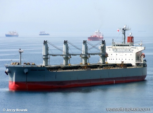
Vessel Gemini IMO: 9376309, MMSI: 636016824 Bulk Carrier
UTC, 8.83922, -79.51759, course: 48, speed: 0.1
UTC, 8.83951, -79.51773, course: 57, speed: 0.1
2026-02-13 23:53:48 UTC, 8.83925, -79.51749, course: 41, speed: 0.1
Live AIS position:
UTC. Near Taboguilla),
updated 2026-02-13 23:53:48 UTC.
Find the position of the vessel Gemini on the map. The latter are known coordinates and path.
marine traffic ship tracker show on live map
The current position of vessel Gemini is 8.83925 lat / -79.51749 lng. Updated: 2026-02-13 23:53:48 UTCDetails:
Last coordinates of the vessel:
UTC, 8.83941, -79.51767, course: 58, speed: 0UTC, 8.83922, -79.51759, course: 48, speed: 0.1
UTC, 8.83951, -79.51773, course: 57, speed: 0.1
2026-02-13 23:53:48 UTC, 8.83925, -79.51749, course: 41, speed: 0.1