 vesseltracker.com
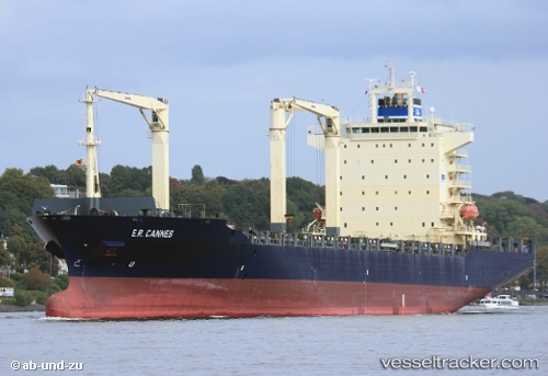
Vessel Hsl Nike IMO: 9301457, MMSI: 636017045 Container Ship
UTC, 31.13833, 29.79333, course: -1, speed: 0
UTC, 31.13953, 29.79456, course: 213, speed: 0
2026-02-13 15:34:44 UTC, 31.13953, 29.79450, course: 213, speed: 0
Live AIS position:
UTC. Near EL DEKHEILA),
updated 2026-02-13 15:34:44 UTC.
Find the position of the vessel Hsl Nike on the map. The latter are known coordinates and path.
marine traffic ship tracker show on live map
The current position of vessel Hsl Nike is 31.13953 lat / 29.79450 lng. Updated: 2026-02-13 15:34:44 UTCDetails:
Last coordinates of the vessel:
UTC, 31.13959, 29.79454, course: 213, speed: 0UTC, 31.13833, 29.79333, course: -1, speed: 0
UTC, 31.13953, 29.79456, course: 213, speed: 0
2026-02-13 15:34:44 UTC, 31.13953, 29.79450, course: 213, speed: 0