 vesseltracker.com
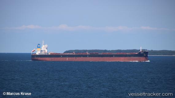
Vessel Ronadi IMO: 9718014, MMSI: 636017356 Bulk Carrier
UTC, 10.56555, 130.15482, course: 322, speed: 10
UTC, 10.56555, 130.15482, course: 322, speed: 10
2026-03-22 19:19:06 UTC, 10.56555, 130.15482, course: 322, speed: 10
Live Vessel Ronadi Analytics (details, animations, etc.)
Live AIS position: UTC. 248 nm E of Sayak Apt del Carmen), updated 2026-03-22 19:19:06 UTC.Find the position of the vessel Ronadi on the map. The latter are known coordinates and path.
marine traffic ship tracker show on live map
The current position of vessel Ronadi is 10.56555 lat / 130.15482 lng. Updated: 2026-03-22 19:19:06 UTCCurrently sailing under the flag of Liberia
Details:
Last coordinates of the vessel:
UTC, 9.84402, 130.89970, course: 318, speed: 10.2UTC, 10.56555, 130.15482, course: 322, speed: 10
UTC, 10.56555, 130.15482, course: 322, speed: 10
2026-03-22 19:19:06 UTC, 10.56555, 130.15482, course: 322, speed: 10