 vesseltracker.com
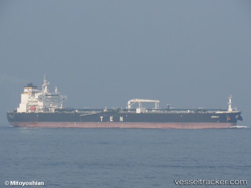
Vessel Sunray IMO: 9761944, MMSI: 636017480 Crude Oil Tanker
UTC, -41.18157, -77.17121, course: 179, speed: 10.7
UTC, -41.62446, -77.12739, course: 171, speed: 8.8
2026-03-21 19:26:01 UTC, -41.85777, -77.09694, course: 177, speed: 9.5
Live Vessel Sunray Analytics (details, animations, etc.)
Live AIS position: UTC. 146 nm W of Ancud), updated 2026-03-21 19:26:01 UTC.Find the position of the vessel Sunray on the map. The latter are known coordinates and path.
marine traffic ship tracker show on live map
The current position of vessel Sunray is -41.85777 lat / -77.09694 lng. Updated: 2026-03-21 19:26:01 UTCCurrently sailing under the flag of Liberia
Details:
Last coordinates of the vessel:
UTC, -40.86608, -77.20775, course: 176, speed: 11.3UTC, -41.18157, -77.17121, course: 179, speed: 10.7
UTC, -41.62446, -77.12739, course: 171, speed: 8.8
2026-03-21 19:26:01 UTC, -41.85777, -77.09694, course: 177, speed: 9.5