 vesseltracker.com
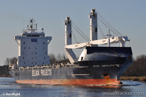
Vessel Daisy IMO: 9273806, MMSI: 636018226 Multi Purpose Carrier
UTC, 27.02394, 49.68718, course: 45, speed: 0
UTC, 27.02399, 49.68719, course: 46, speed: 0.1
2026-02-18 15:55:53 UTC, 27.02415, 49.68719, course: 46, speed: 0.1
Live AIS position:
UTC. Near Al Jubayl),
updated 2026-02-18 15:55:53 UTC.
Find the position of the vessel Daisy on the map. The latter are known coordinates and path.
marine traffic ship tracker show on live map
The current position of vessel Daisy is 27.02415 lat / 49.68719 lng. Updated: 2026-02-18 15:55:53 UTCDetails:
Last coordinates of the vessel:
UTC, 27.02396, 49.68717, course: 45, speed: 0.1UTC, 27.02394, 49.68718, course: 45, speed: 0
UTC, 27.02399, 49.68719, course: 46, speed: 0.1
2026-02-18 15:55:53 UTC, 27.02415, 49.68719, course: 46, speed: 0.1