 vesseltracker.com
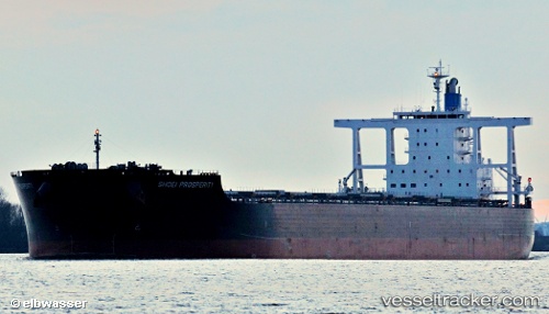
Vessel Berge Tsurugi IMO: 9599810, MMSI: 636019376 Ore Carrier
UTC, -20.06799, 118.63542, course: 263, speed: 0.1
UTC, -20.06838, 118.63555, course: 274, speed: 0.2
2026-01-18 09:03:58 UTC, -20.07031, 118.63662, course: 313, speed: 0.3
Live AIS position:
UTC. 14 nm N of Port Hedland),
updated 2026-01-18 09:03:58 UTC.
Find the position of the vessel Berge Tsurugi on the map. The latter are known coordinates and path.
marine traffic ship tracker show on live map
The current position of vessel Berge Tsurugi is -20.07031 lat / 118.63662 lng. Updated: 2026-01-18 09:03:58 UTCCurrently sailing under the flag of Liberia
Berge Tsurugi built in 2012 year
Deadweight:
181403 tDetails:
Last coordinates of the vessel:
UTC, -20.06666, 118.63511, course: 232, speed: 0UTC, -20.06799, 118.63542, course: 263, speed: 0.1
UTC, -20.06838, 118.63555, course: 274, speed: 0.2
2026-01-18 09:03:58 UTC, -20.07031, 118.63662, course: 313, speed: 0.3