 vesseltracker.com
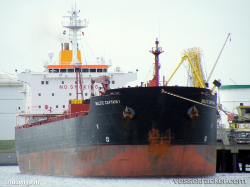
Vessel LUNA IMO: 9208100, MMSI: 636019604
UTC, -66.25670, 122.14199, course: 266, speed: 3.2
2026-01-11 20:25:13 UTC, -66.25670, 122.14199, course: 266, speed: 3.2
Live AIS position:
UTC. 280 nm E of Casey Station),
updated 2026-01-11 20:25:13 UTC.
Find the position of the vessel LUNA on the map. The latter are known coordinates and path.
marine traffic ship tracker show on live map
The current position of vessel LUNA is -66.25670 lat / 122.14199 lng. Updated: 2026-01-11 20:25:13 UTCDetails:
Last coordinates of the vessel:
UTC, -66.25670, 122.14199, course: 266, speed: 3.2UTC, -66.25670, 122.14199, course: 266, speed: 3.2
2026-01-11 20:25:13 UTC, -66.25670, 122.14199, course: 266, speed: 3.2